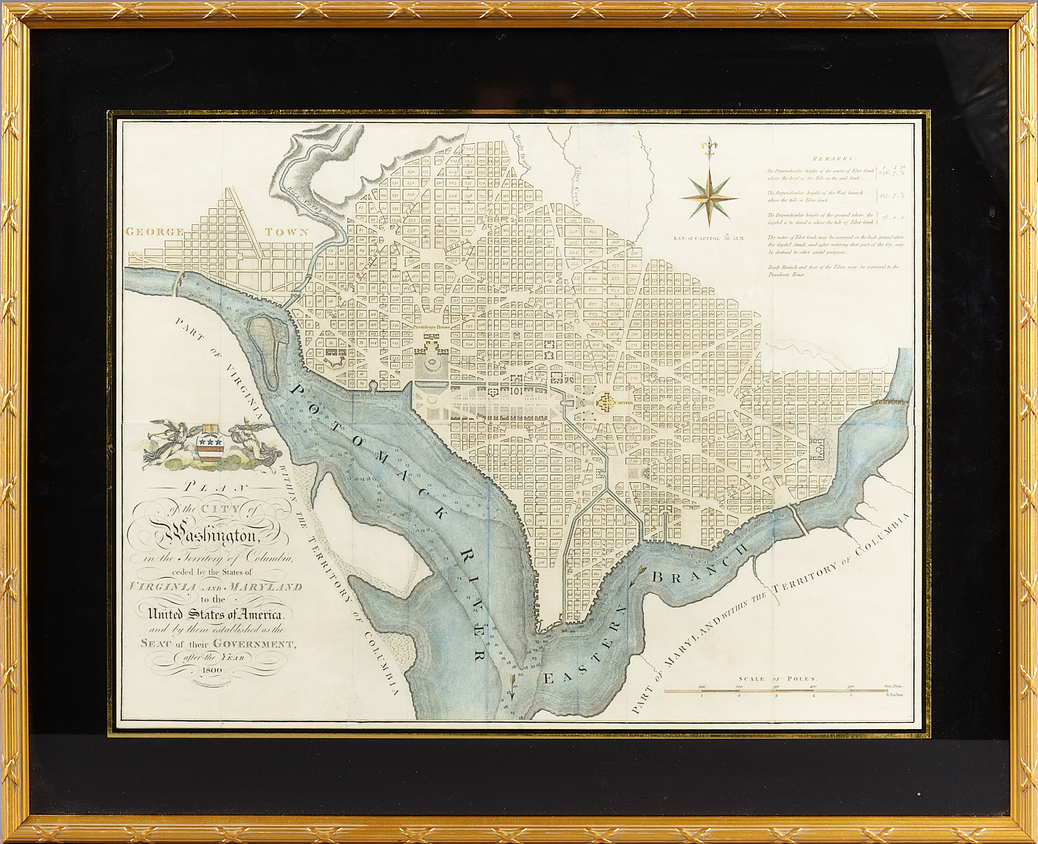
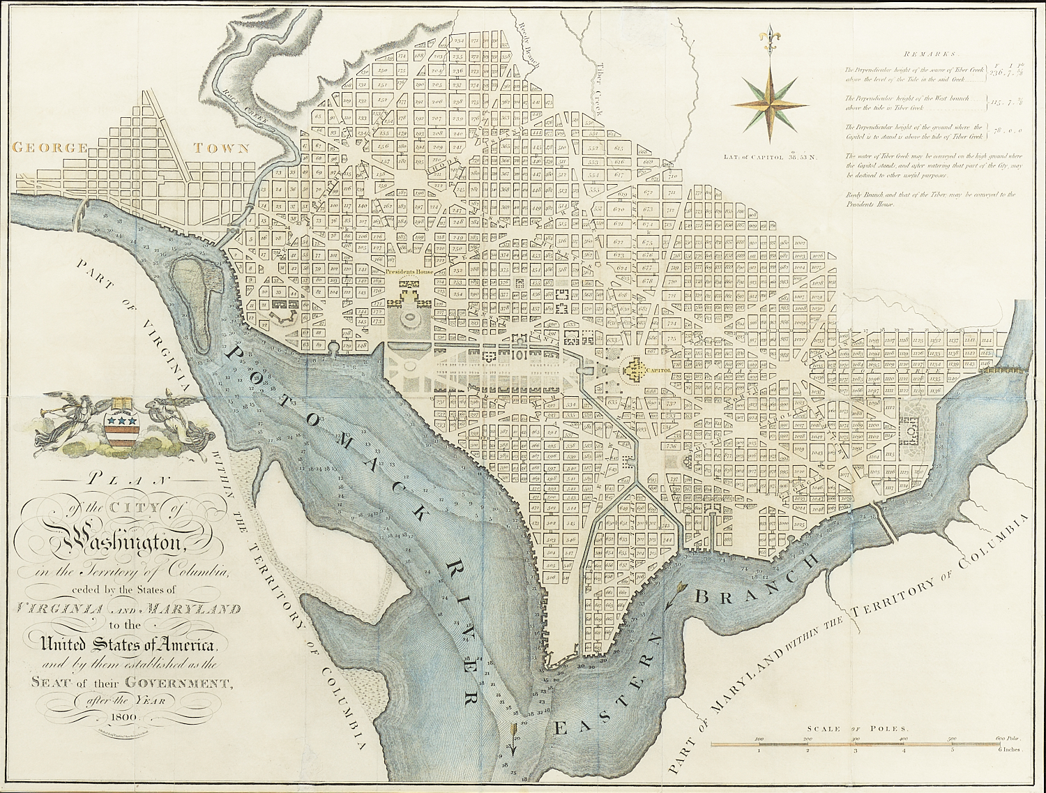
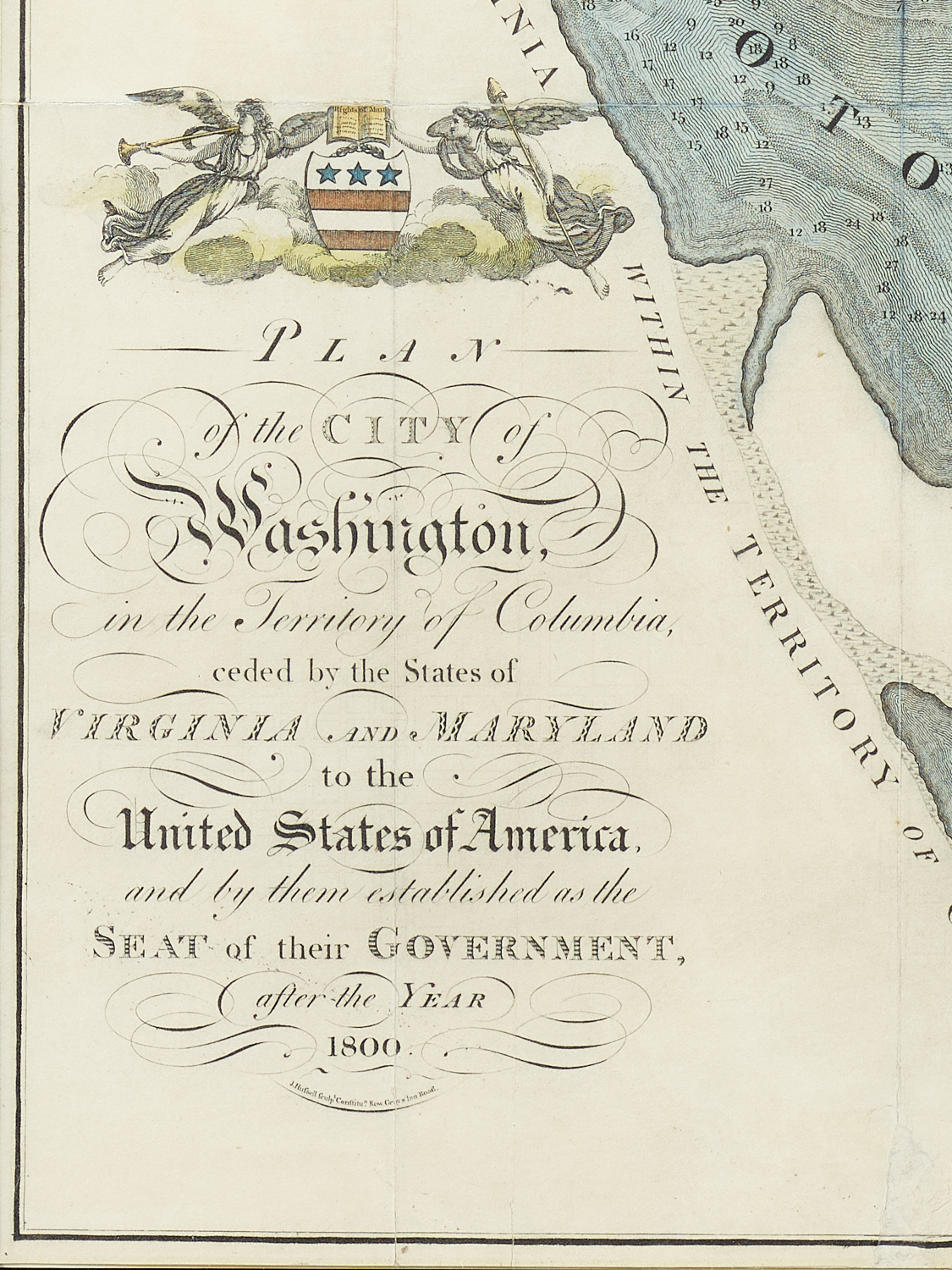
Plan of the City of Washington in the Territory of Columbia
Ceded by the States of Virginia and Maryland to the United States of America…
Engraved by J. Russell
Symonds & Ridgeway
London
1795
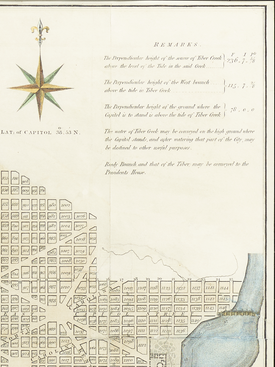
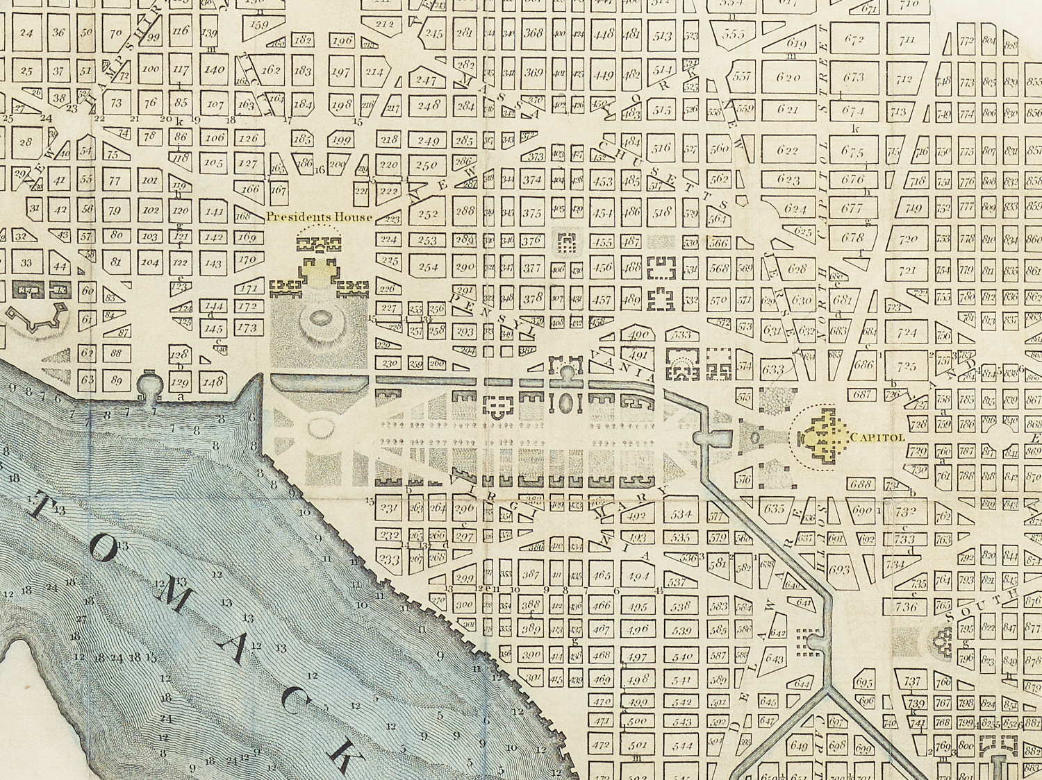
Andrew Elliot’s map of Washington was the first published version of the L’Enfant plan and appeared in 1792. It was followed by the Thackara &Vallance edition published in Philadelphia the same year. Both are extremely rare. Just three years later, John Reid published his version of the Plan of the City of Washington in his American Atlas produced in New York. John Russell’s map was very similar and was published in London, also in 1795. It was the first, full sized plan of Washington in a foreign publication. There is some question among scholars as to whether Russell copied the Reid plan or vice versa.