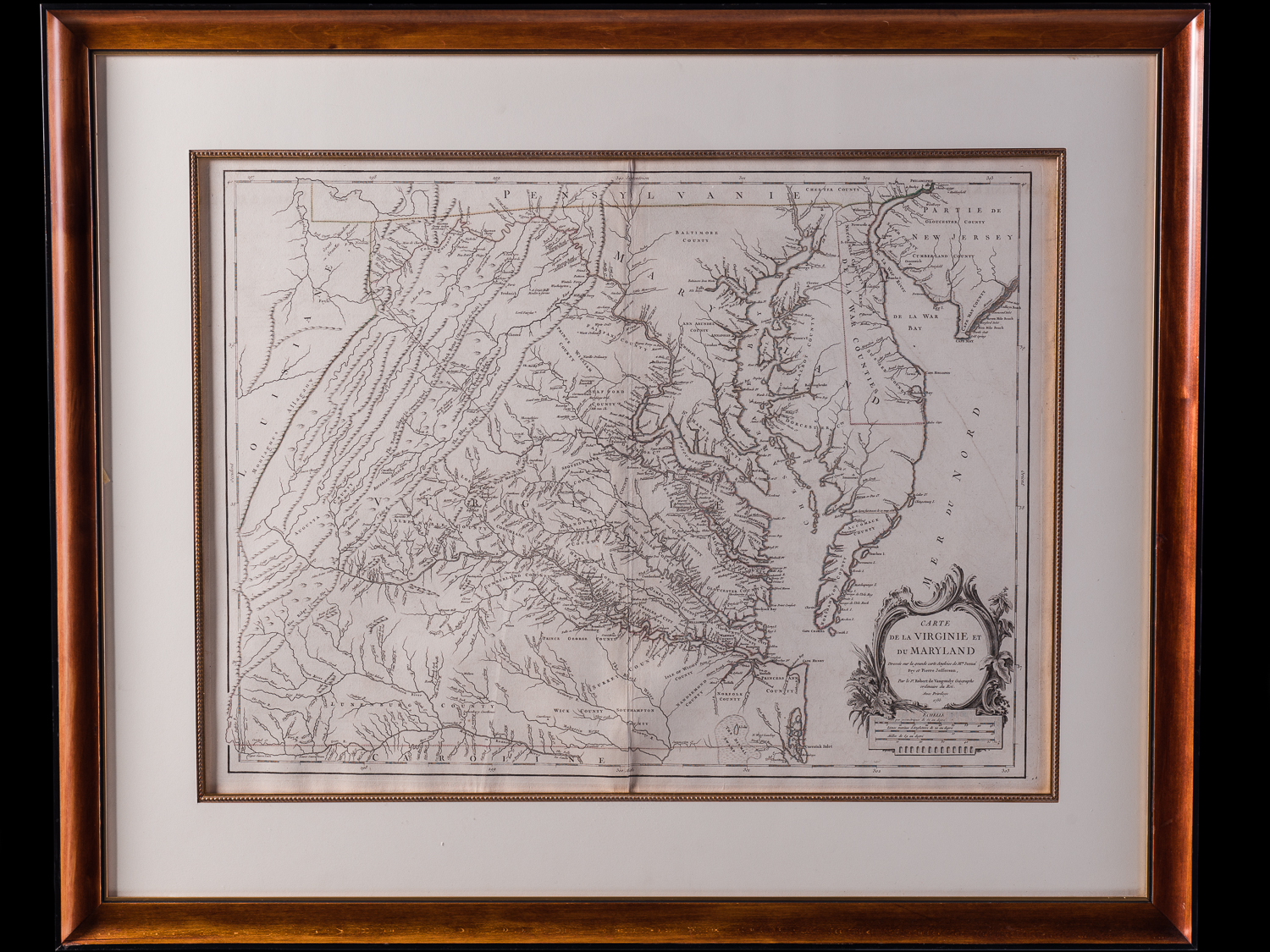
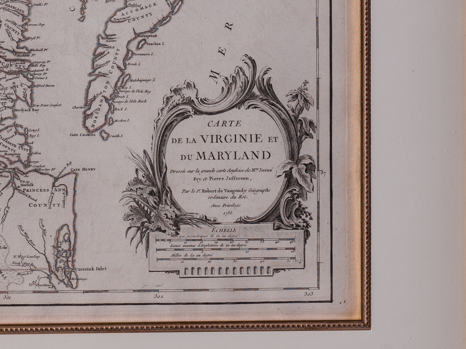
Carte de la Virginie et du Maryland
Paris 1755
Robert de Vaugondy after Joshua Fry and Peter Jefferson
Engraving on laid paper, period outline color
Sight: 26.5″ x 19.5″
Overall: 36″ x 29.5″
The most important map of Virginia since the Smith map of 1612, Joshua Fry and Peter Jefferson’s survey and map were was the most accurate available until after the last years of the 18th century. The map was used widely in the colonies and continental Europe as a source of military and political information from the French and Indian War through the American Revolution. First published in London by Thomas Jefferys and Robert Sayer ca. 1753 it quickly appeared in a French version dated 1755 published by Robert de Vaugondy. This edition with many place names in English was a single folio sheet in size rather than the four sheet London map and was included in Vaugondy’s Atlas Universale Gilles Robert de Vaugondy (1688-1766) founded the de Vaugondy firm that was taken over by his son Didier (1723-1786). At the death of Didier, the firm was taken over by Delamarche.
The map was engraved by Elisabeth Haussard and shows the boundaries of the Fairfax holdings in northern Virginia which only appeared in this first edition.