
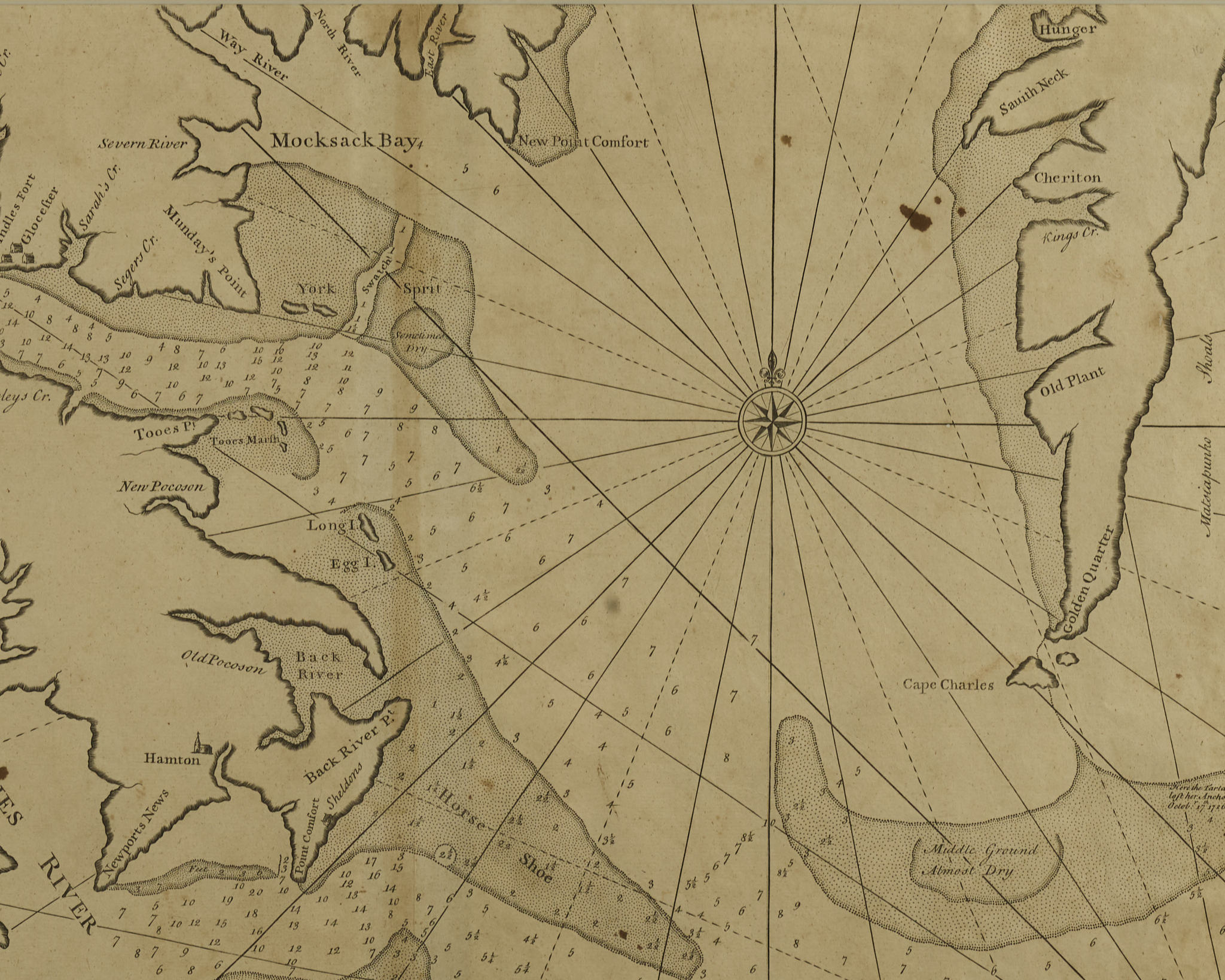
A Draught of Virginia from the Capes to York………
Engraved Map
Published by Mount and Page, English Pilot, first issued in 1729
London
Various dates – C. 1752
State Two – corrected spelling of “Horse Shooe to Horse Shoe”
Mark Tiddeman was captain of the British ship Tartar in the late 1720s and made soundings of the harbors in New York and the mouth of the Chesapeake Bay, Hampton Roads, Norfolk, Williamsburg and other details. It is possibly the first map to specifically show the city of Norfolk notes Woolridge in his Mapping of Virginia.