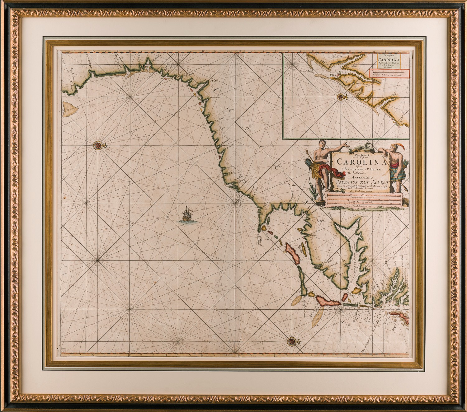
A MAP OF CAROLINA from CAPE CANAVERAL to CAPE HENRY
Johannes van Keulen (1654-1715)
Amsterdam
C. 1682
One of the earliest maps to focus on the Carolina coast
Copper engraved, excellent condition with period, probably original hand coloring
27.5” x 31” – (31″ x 27 1/2″ overall) Beautifully framed to conservation standards.


