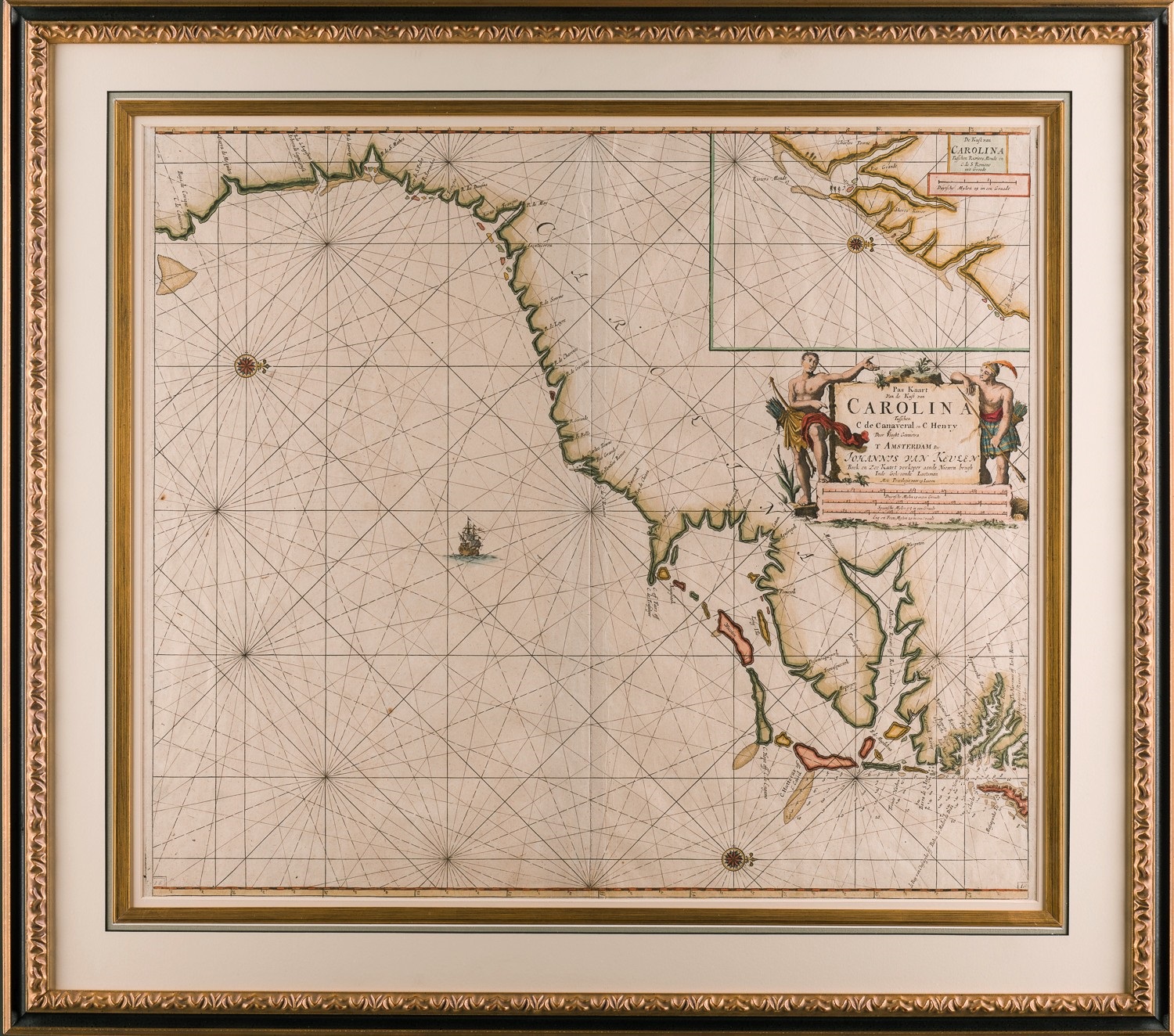
A MAP OF CAROLINA from CAPE CANAVERAL to CAPE HENRY
Johannes van Keulen (1654-1715)
Amsterdam, circa 1682
Copper engraved, period hand coloring
27.5” x 31” overall
Van Keulen’s attractive map of Carolina is essentially a hydrographic chart providing coastal names and soundings without any detail of the area’s interior. It does contain an inset of Charleston Harbor and the mouths of the Ashley and Cooper rivers and a very fine cartouche. A copper plate engraving with period hand coloring, the map was printed in Amsterdam. The framing is to conservation standards.