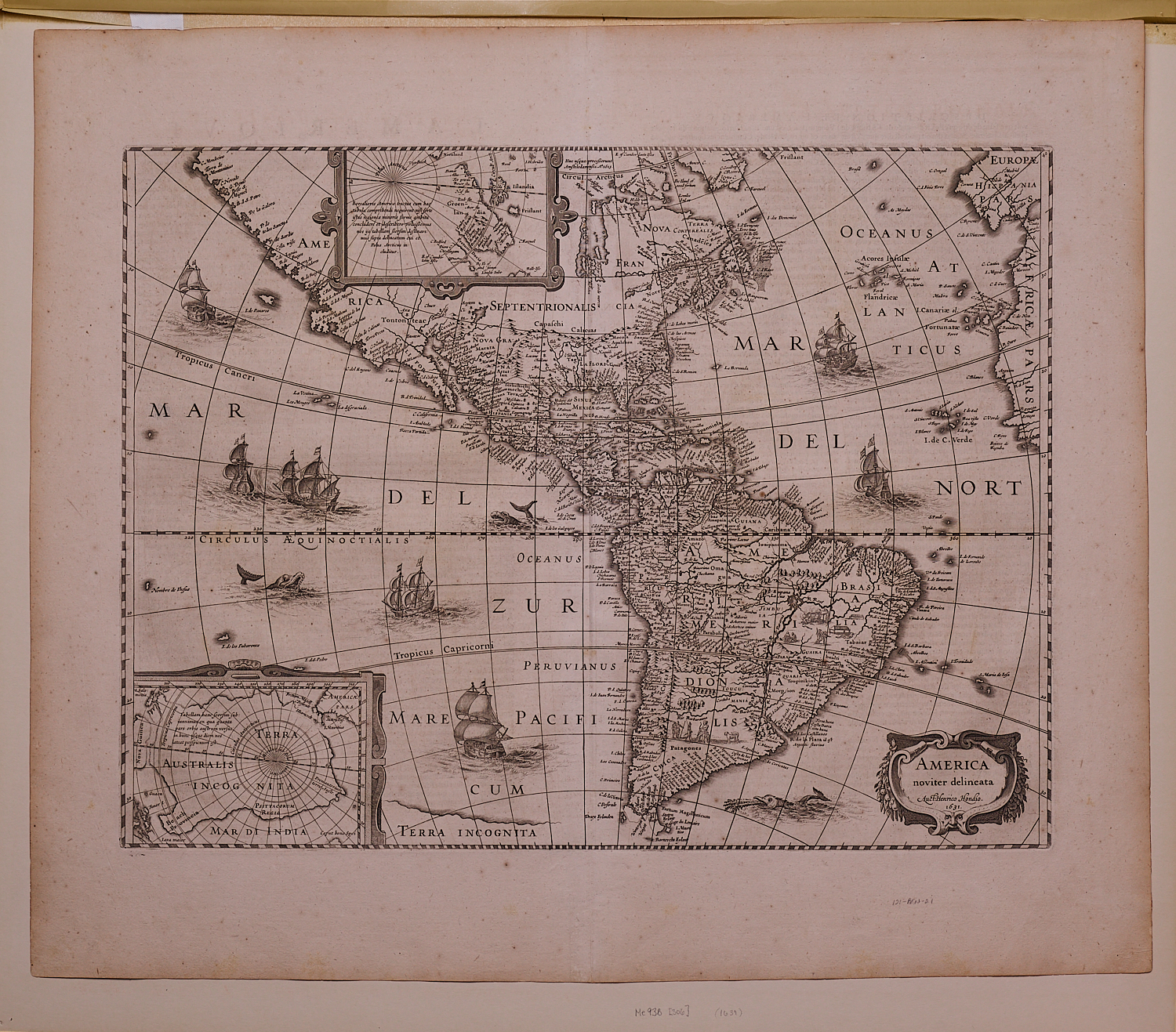
America noviter delineata
Henricus Hondius (1597-1651)
Copperplate engraving
Amsterdam
1631
20” x 23.5” overall
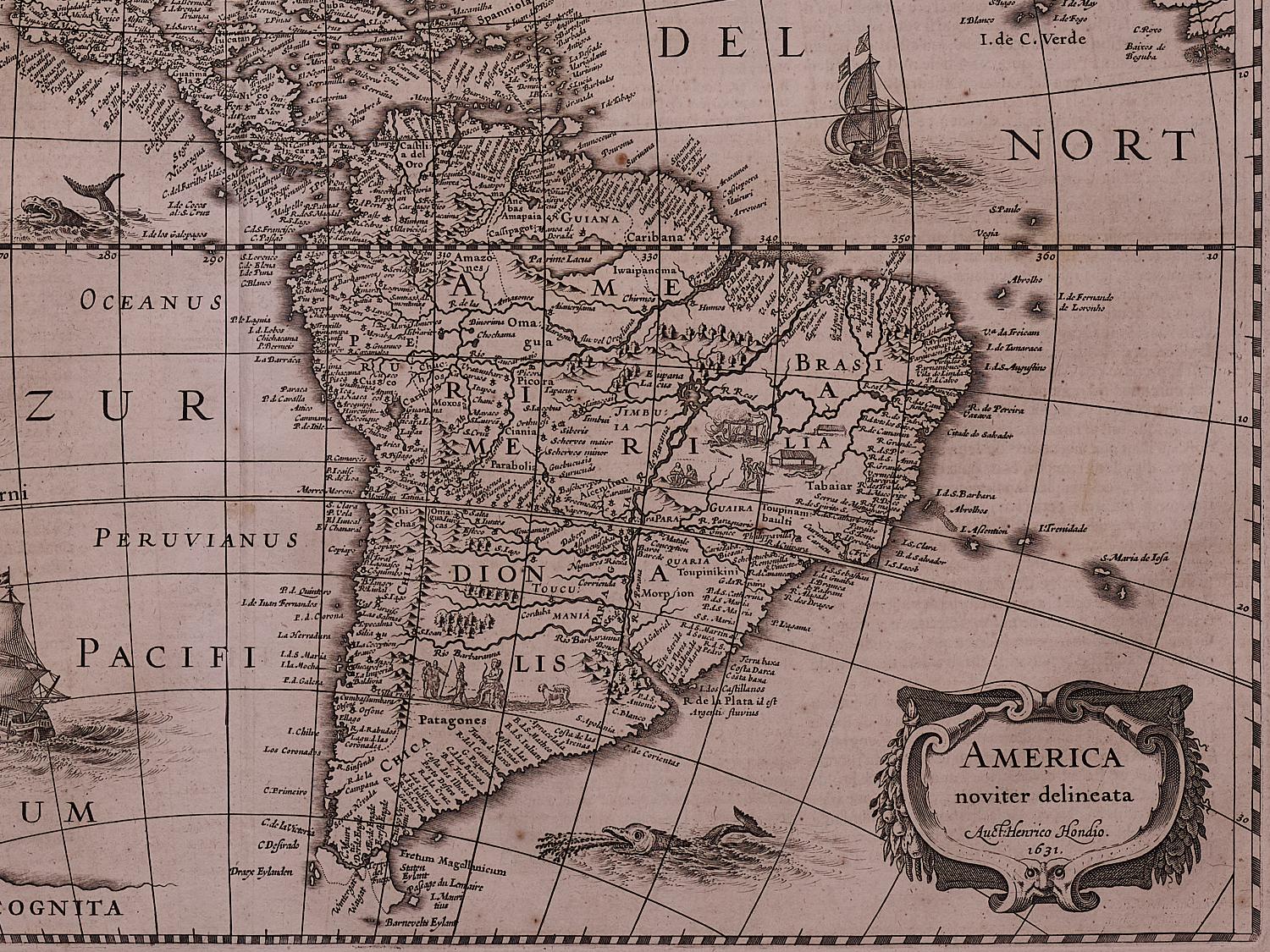
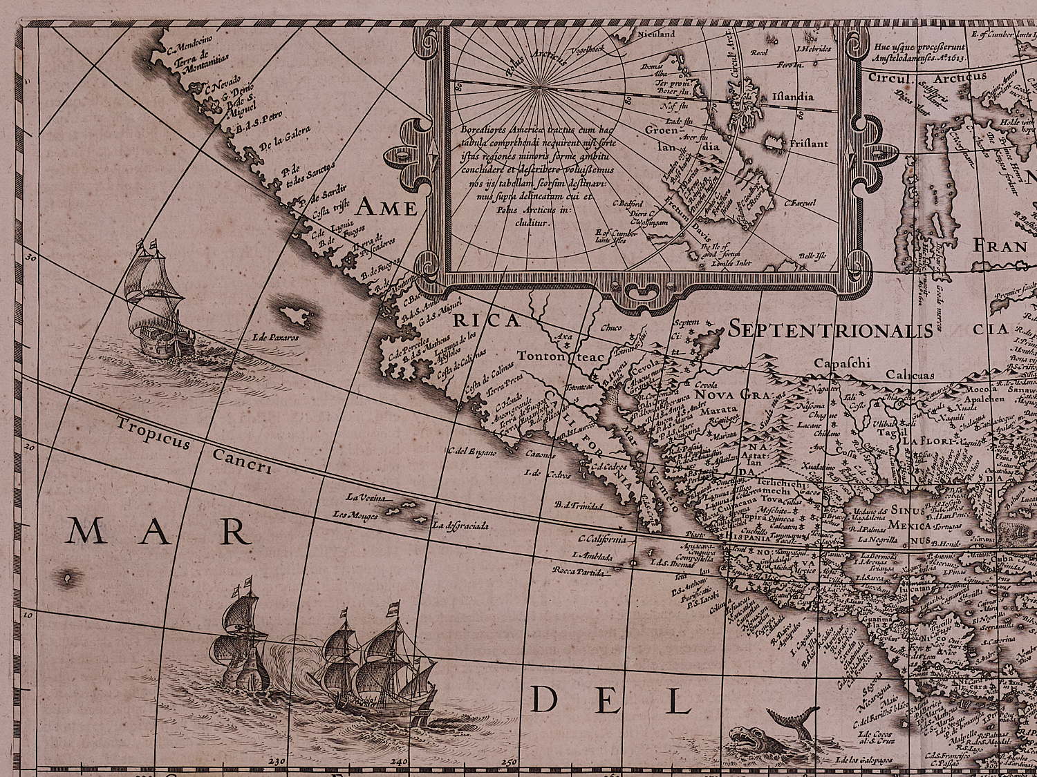
First published in 1618 by Jodocus Hondius, Jr (1594-1629), Henricus’ brother, this map of America was reissued in 1631 with significant updates. Map makers in the Age of Discovery competed intensely to gather and incorporate the latest information in their maps. This resulted in the frequent reuse and modification of plates to include reports from the most recent voyages and data from publications by competitors. This map, which was itself derived from Jodocus Hondus, Sr.’s America of 1606 and two maps of America by Willem Blaeu published in 1608 and 1617, is an excellent example of this evolutionary process.
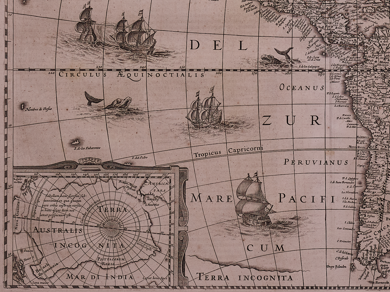
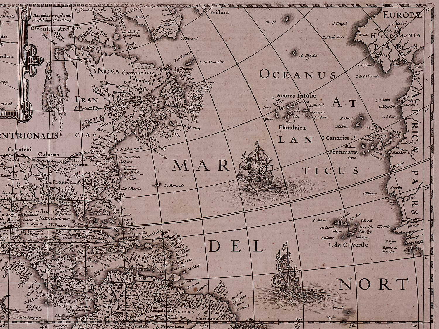
Henricus deleted the decorative borders, probably to adapt the map to an atlas format, but retained the polar insets. The map included significant numbers of place names along the eastern coast of North America including
A strong impression in fine condition with full margins, our map has the French text on the version and probably first appeared in Hondius’ atlas c. 1633.
Burden 192, state 3, Tooley, America, 298.