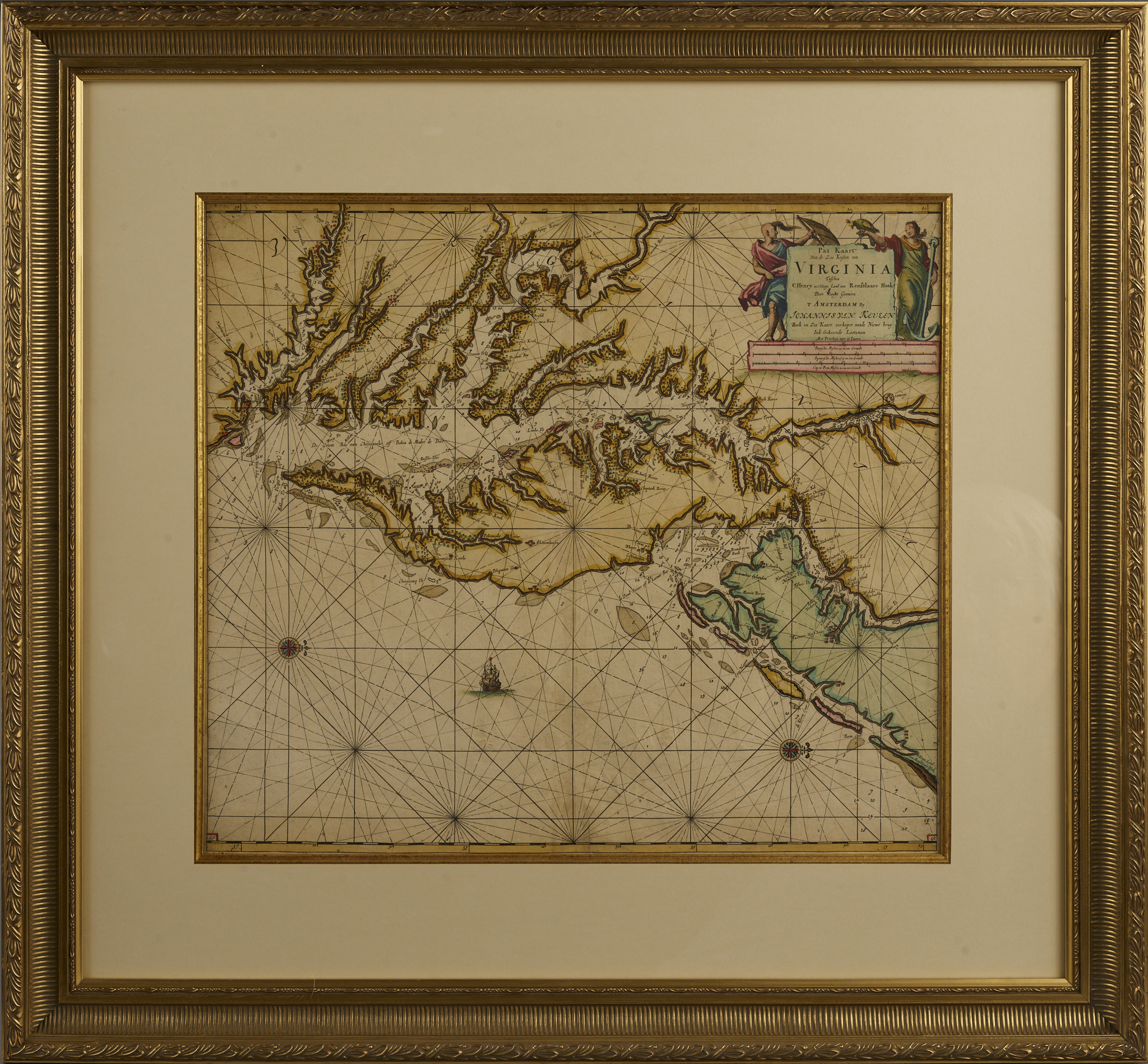
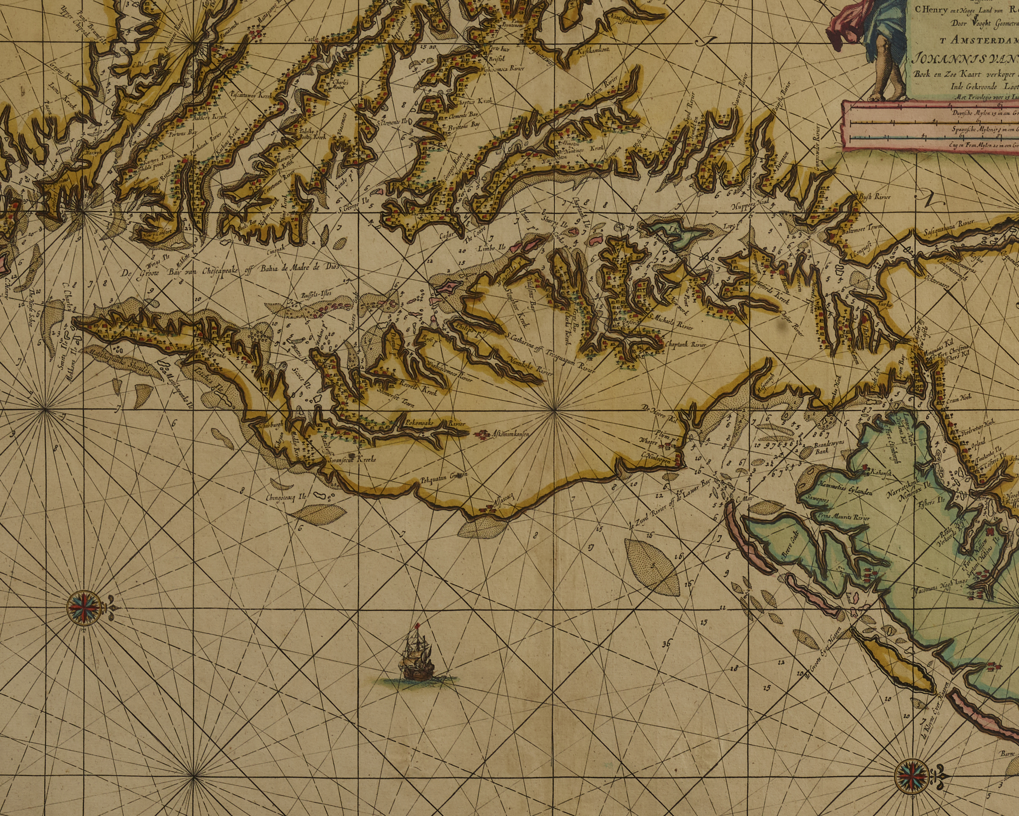
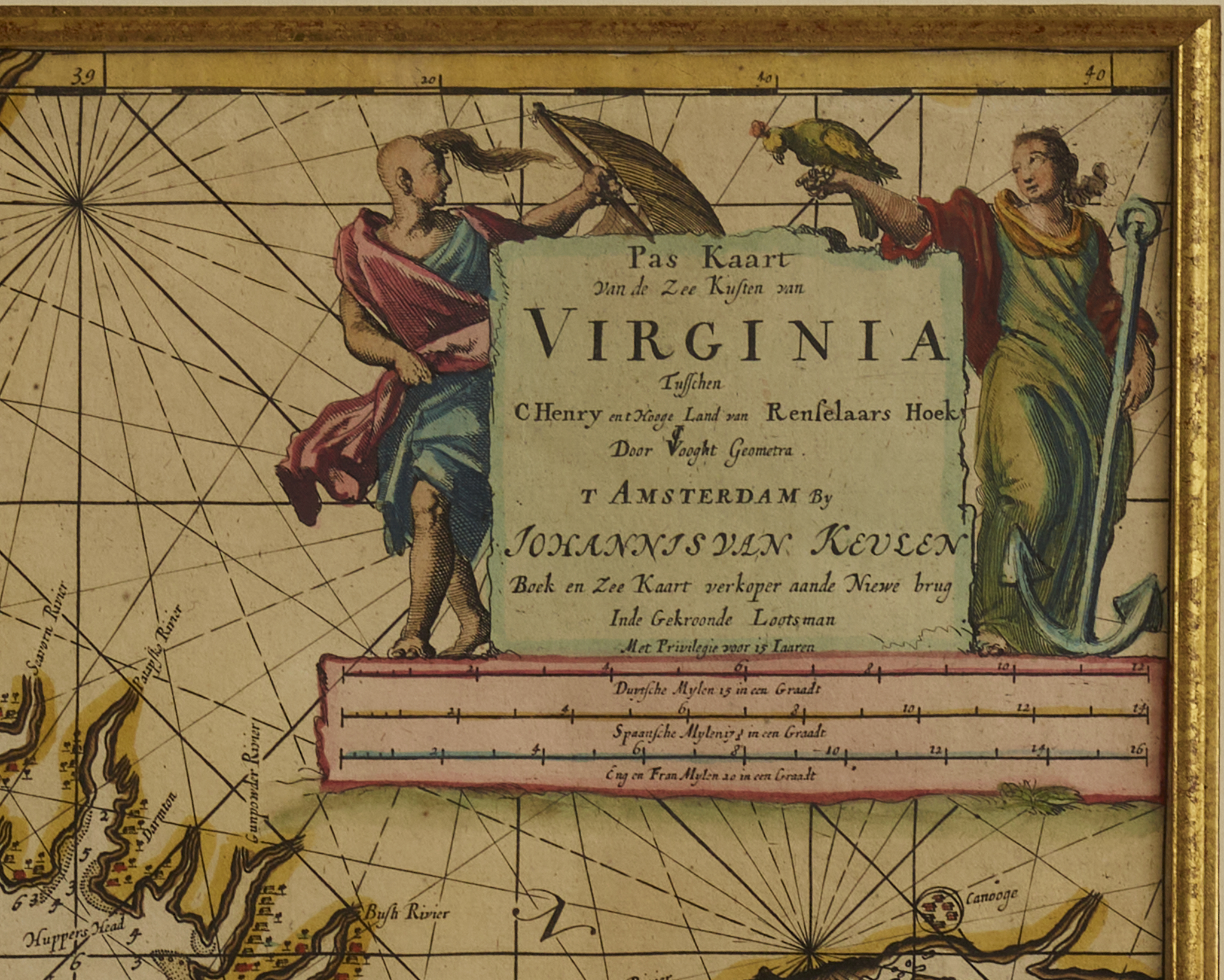
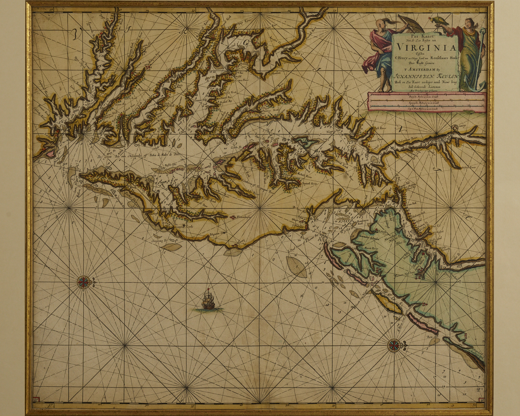
Pas kaart van de zee kusten van Virginia : tusschen C. Henry en t hooge land van Renselaars Hoek…
Engraved map
Johannes Van Keulen (1654 – 1715)
Amsterdam
Circa 1690
Johannes Van Keulen (1654 – 1715) was a Dutch cartographer in Amsterdam during the late 17th century. He was the son of Lucas van Keulen whose firm was founded in 1678 and registered with the Amsterdam bookseller’s guild. This is Van Keulen’s c.1690 nautical chart of Chesapeake Bay, Delaware Bay, and the adjacent coastlines. Most significantly, it is one of the first charts to utilize the 1673 August Hermann map as a source, making it one of the most up-to-date charts of the region and much more accurate than other maps then commonly in use.
Notably, it is one of the first maps to recognize the existence of Philadelphia, identified here as ‘Filadelfy’.
Although they are not dated, Van Keulen’s charts are not dated but appeared in his atlases published between 1684 and 1695.