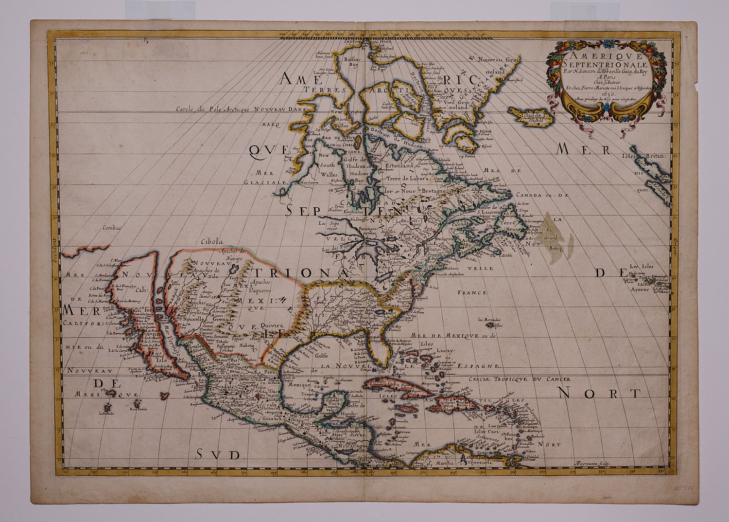
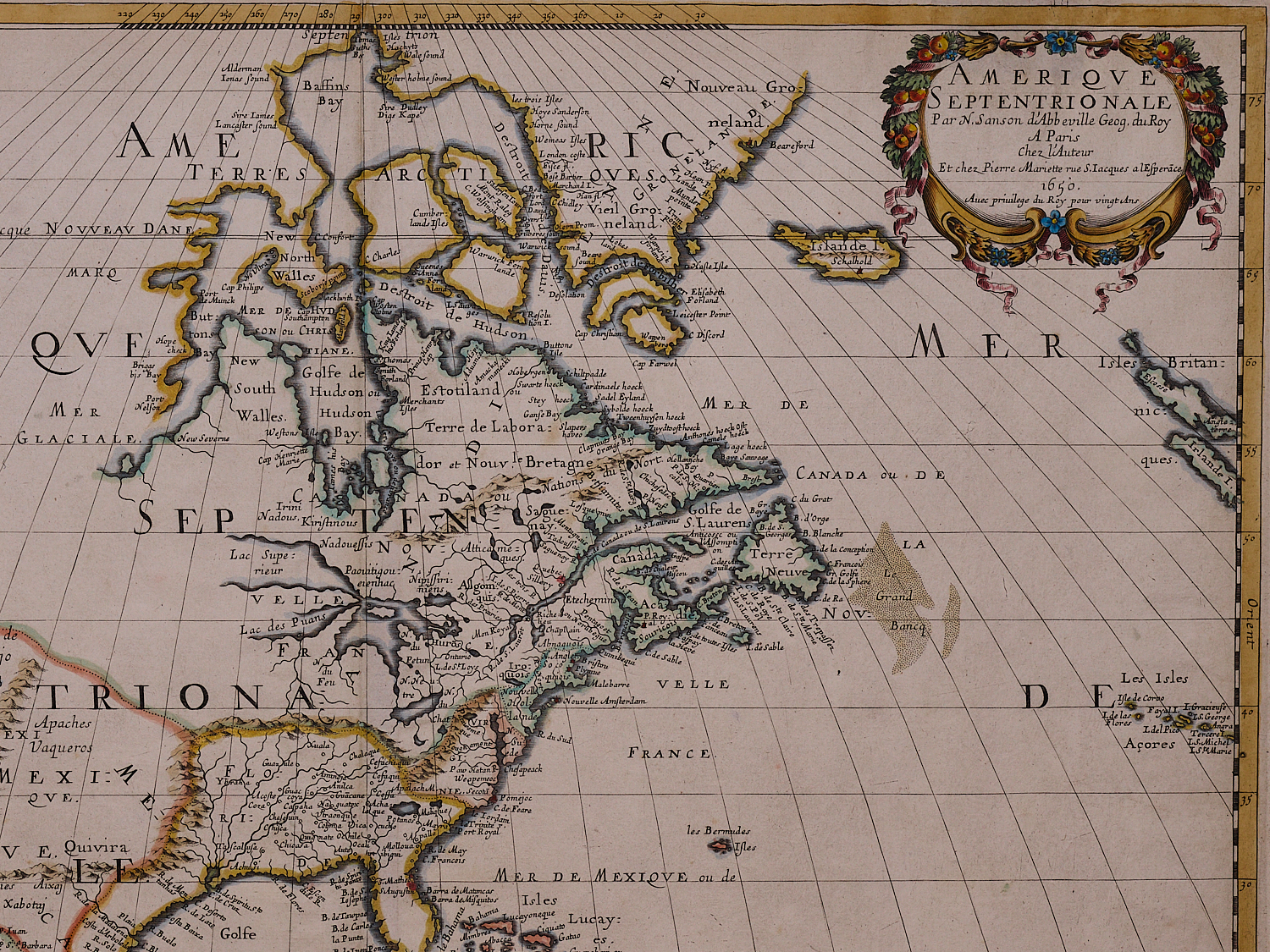
Amerique Septentrionale
Sanson d’Abbevile, Nicolas (1600-67)
Published by N. Sanson & P. Mariette
Copper plate engraving
Paris
1650
Original outline color.
16.5” x 23.25” Overall
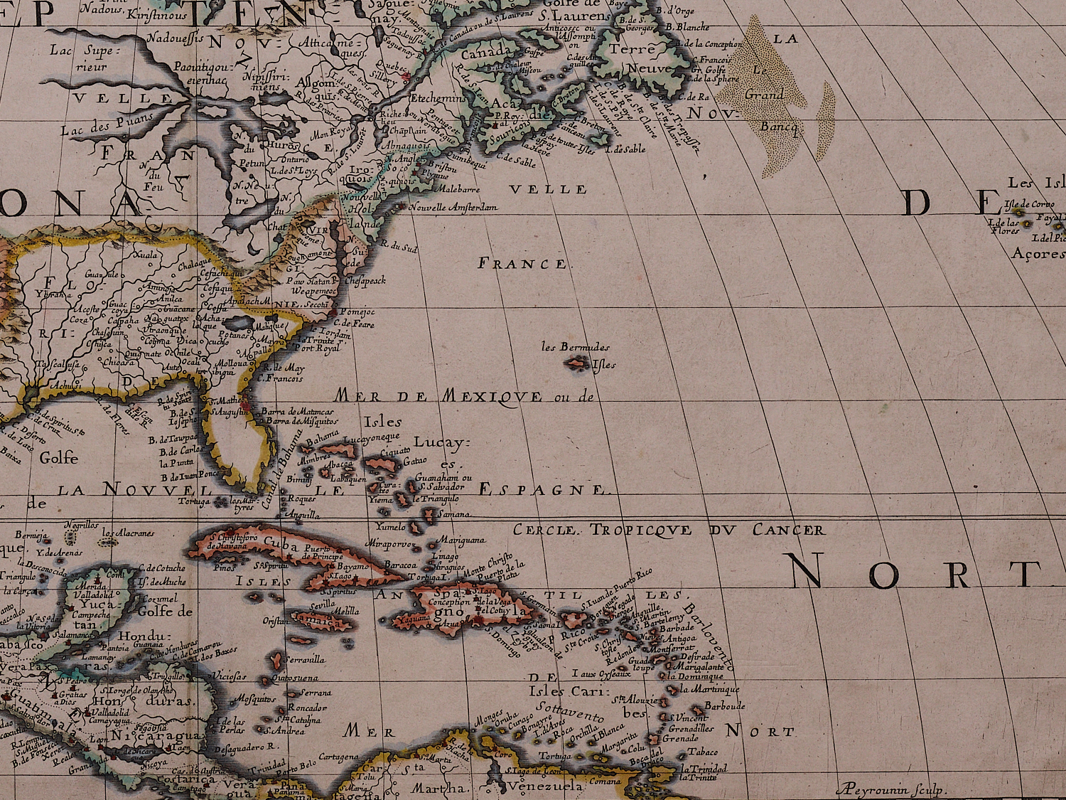
Sanson’s map of north America is of particular importance for several reasons. Most notably, Sanson was the first cartographer to delineate all five of the Great Lakes in a recognizable form in a printed map. He gleaned this information from firsthand accounts received from Jesuit mission in New France published in Paris in 1649 , especially the account of Father Paul Ragueneau.
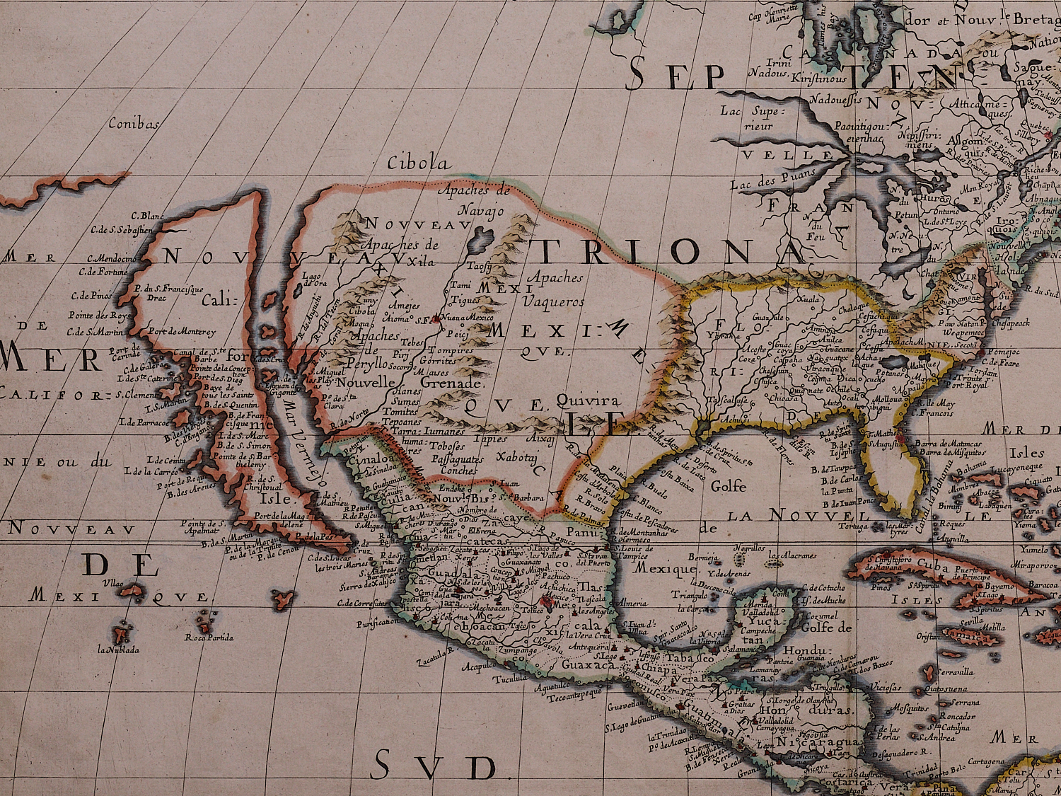
The most important early French mapmaker and possibly of all time, map historian Philip Burden, credits Sanson with the rise of French cartography while R. V. Tooley describes him as geographer royal to Louis XIII and founder of the French school of geography. Burden credits this “landmark” map with a number of additional “firsts” including N. Suede, first reference to the Swedish colony founded in 1638 around Fort Christina (now Delaware) on a printed map ….. S Fe (Santa Fe) capital of New Mexico, introduction of the terms Apaches, Taosij and Navajo,
Also perpetuated the major geographical misconception of California as an island first popularized by Henry Briggs’ map of 1625. Initially resisted by the major Dutch mapmakers, by around 1638 the error was generally accepted across Europe and continued well into the 18th century. (Tooley – California as an Island, A Geographical Misconception…)
Lake St. Louis (Ontario), Lake du Chat (Erie), unnamed lake (Huron), Lake des Puans (Michigan), & Lake Superior
Burden, 294
Fine Condition
sold.