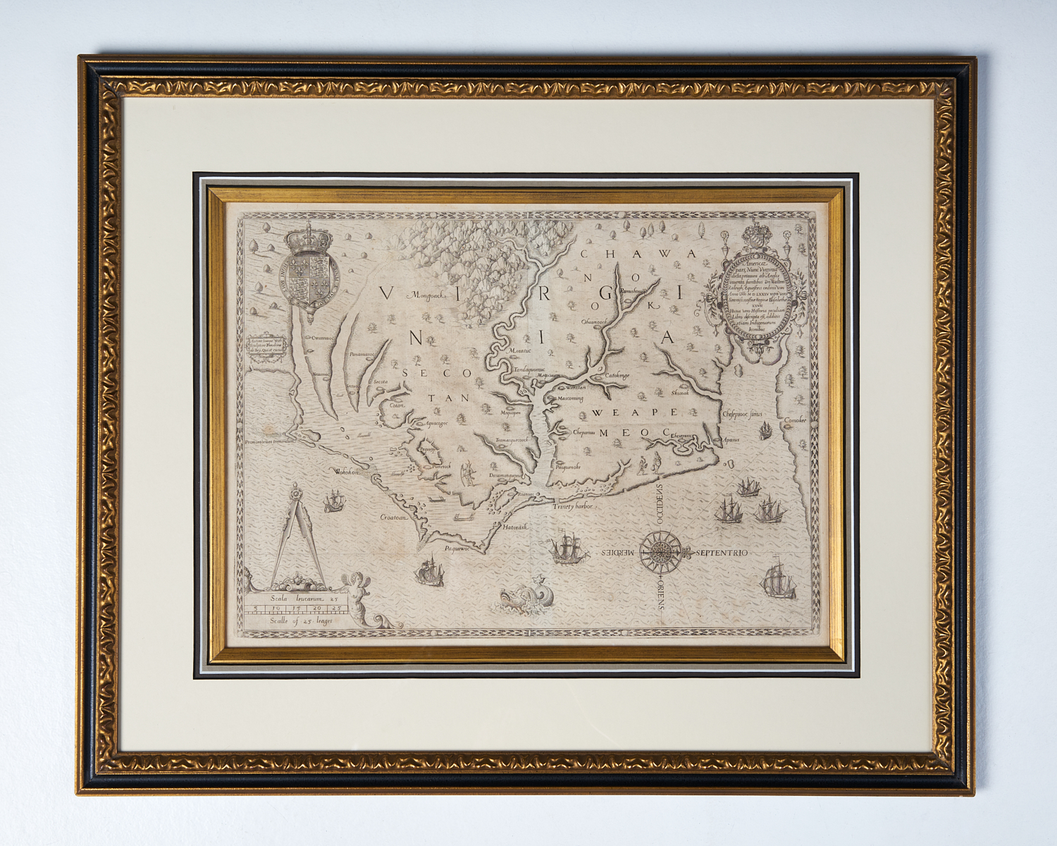
John White’s Map of Virginia, North Carolina and the Chesapeake Bay
WHITE, John (fl. 1585-1593)
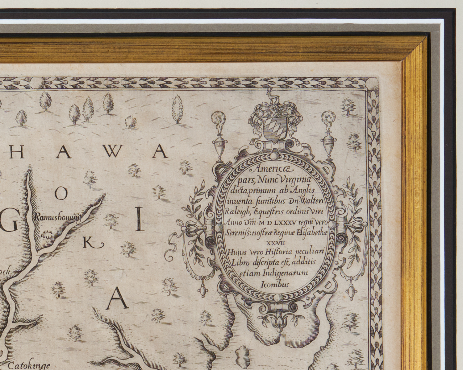
Americae pars, nunc Virginia dicta
Engraving
Theodore de Bry
Frankfurt: 1590.
12 7/8 x 16 5/8 inches. CHECK THIS
State Two
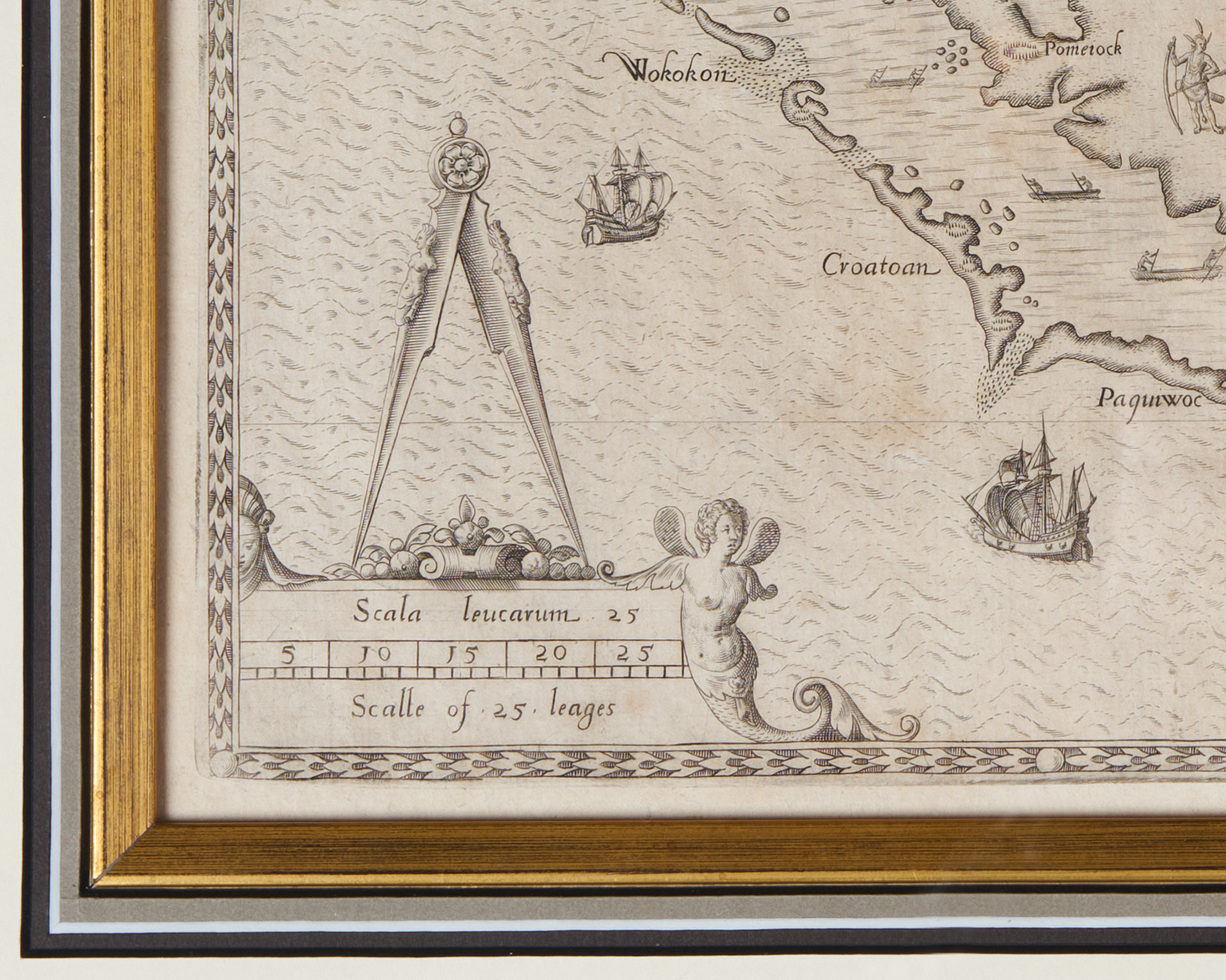
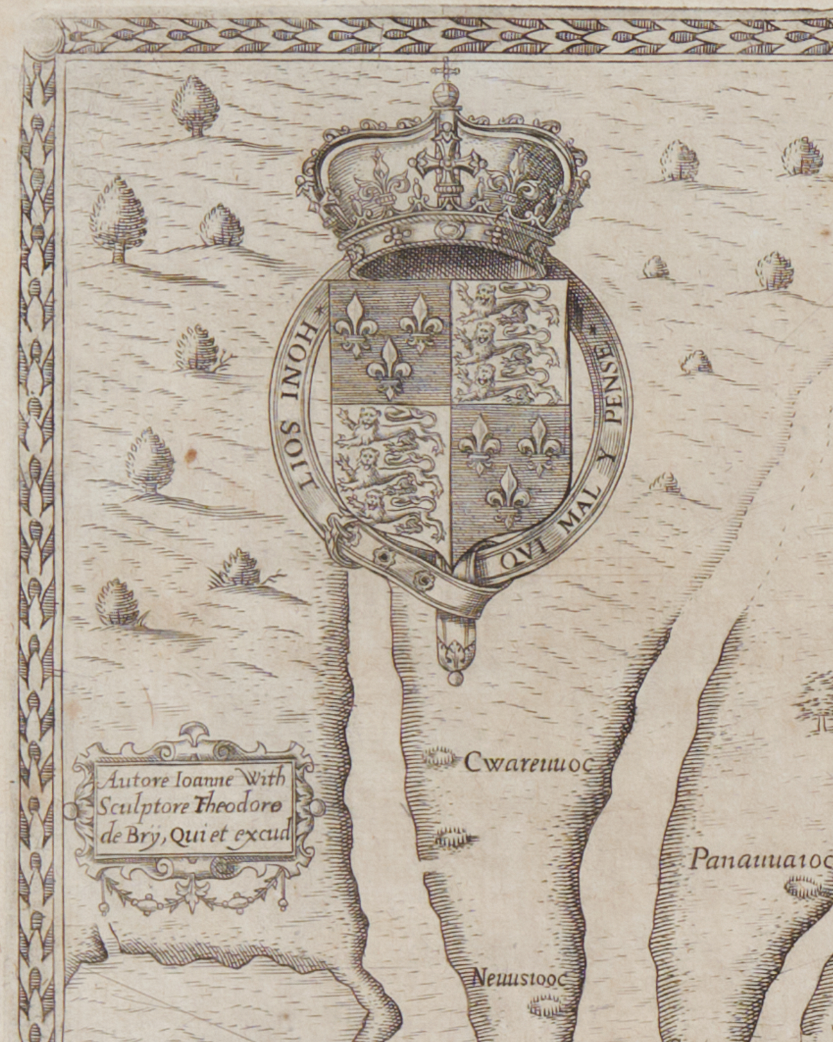
The artist John White accompanied Raleigh’s colonizing expedition to the North Carolina barrier islands and recorded the geography, flora, fauna and native Americans they encountered. He produced the first, critical cartographic record of the area around the ill-fated Roanoke Colony and the most accurate 16th century map of the Virginia and Carolina coasts from the Chesapeake Bay Cape Lookout. Theodore de Bry published White’s milestone map in his Grand Voyages. Part I – the first printed English record of Raleigh’s first attempts at colonization in the New World under the charter of Queen Elizabeth I. Notably, it was the first map to include the name Chesepioc Sinus.
sold