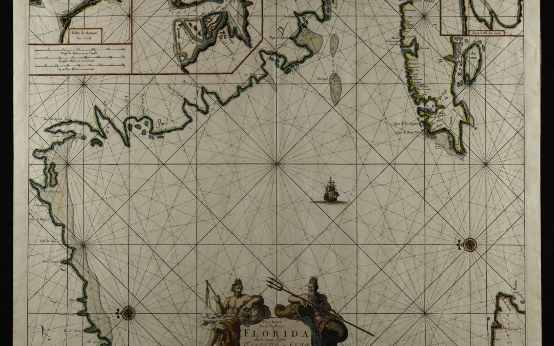
Johannes van Keulen (1654-1715) Amsterdam C. 1683 The orientation with north to the left, east upwards and Cuba to the upper right is a bit confusing a first glance. The inset maps are of Matanzas Bay, Havana Harbor and Hondo Bay. An important early map of the region...
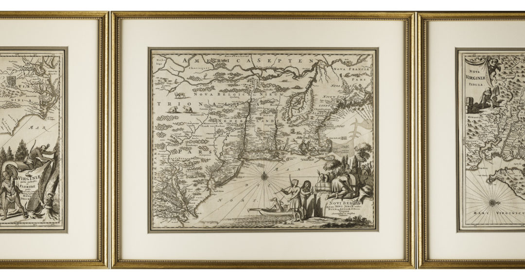
MAP OF VIRGINIA Amsterdam 1671 Titled: “Nova Virginae Tabula” Published in De Nieuwe in onbekende Weereld…by Arnoldus Montanus (circa 1625-1683) Printed by Jacob Meurs MAP OF VIRGINIA and the SOUTHEAST Amsterdam 1671 Titled: “Virginae partis australis et Floridae...
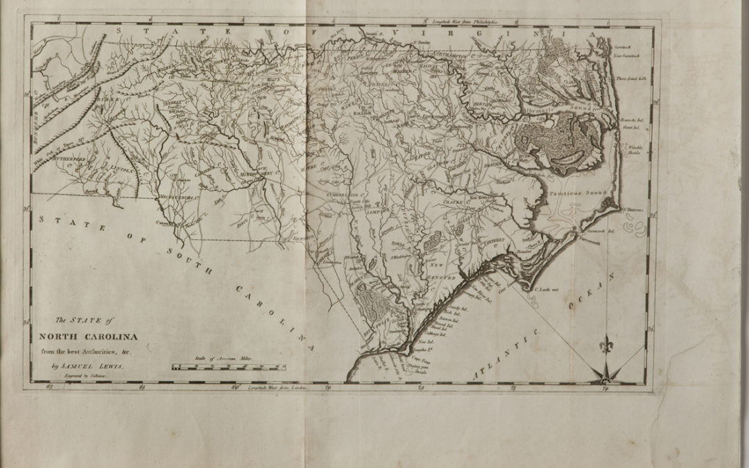
The State of North Carolina from the best Authorities … Copper Engraving Drawn by Samuel Lewis Published by Mathew Carey, Philadelphia. 1795 14.75” x 22” overall Engraved by Vallance for Carey’s American and General Atlases which was the earliest atlas of...
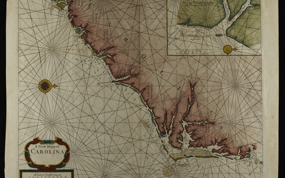
A New Mapp of Carolina By John Thornton … and Will: Fisher Inset: A Large Draught of Ashly and Coopers River First published in 1689 in the Fourth Book of the English Pilot London, C. 1728 18.5 x 23” overall (The altered script in the cartouche dates to the 1728...
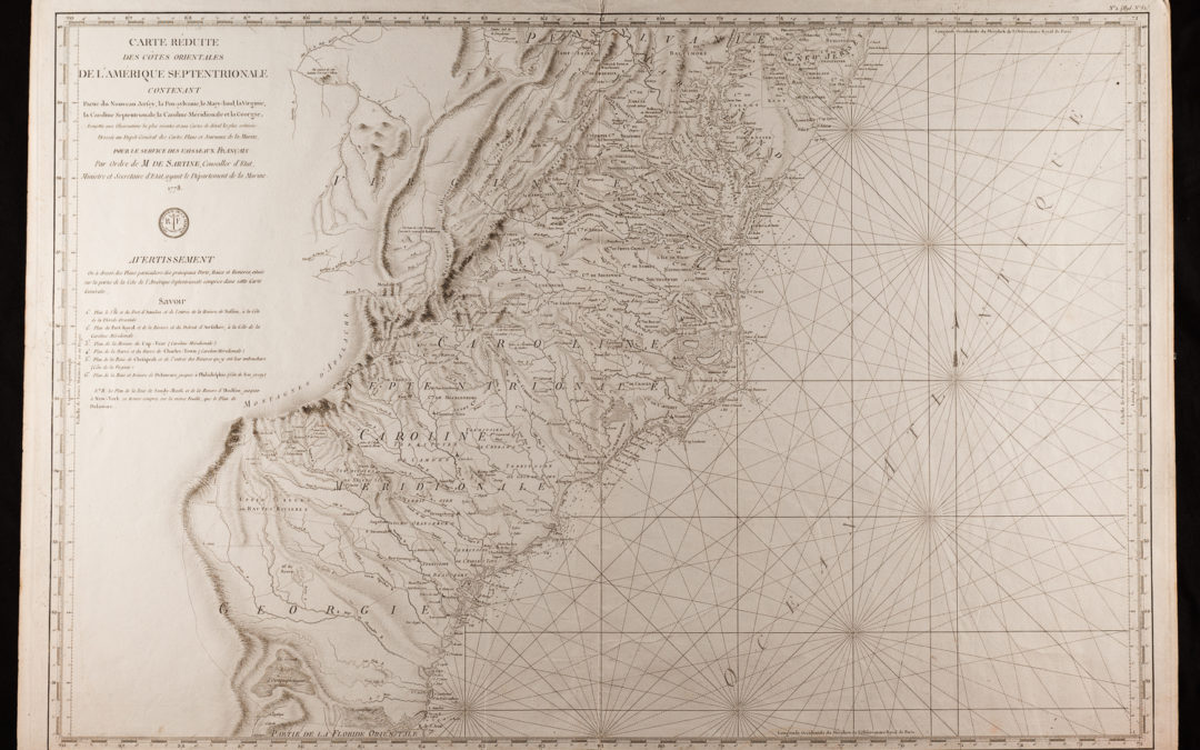
Carte Reduite Des Cotes Orientales De L’Amerique Septentrionale… Antoine Sartine (1729-1801) 23 ¾ ” x 35 1/2”. First published 1778, “VAISSEAUX DU ROI” Reissued C. 1792, Post French Revolution “VAISSEAUX FRANCAIS” Published by the French Admiralty, Antoine...

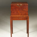 Eastern Virginia CellaretFurniture
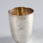 Silver Julep CupDecorative Arts
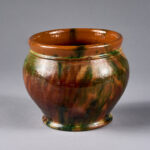 Multi Glaze Strasburg, Virginia JardinièreDecorative Arts